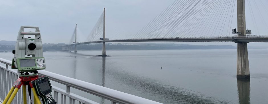
4Site Surveys can utilise the latest Leica RTC 360 laser scanners to produce 3D Pointclouds, 3D Revit models, building floor plans, elevations or sections.
The scan data is registered within Cyclone Register 360+ to ensure accuracy.
The data can be exported to various file formats for upload to Cloudworx, Revit and other types of 3D drafting software.
Clients can view scan data and query dimensions using Truview.


