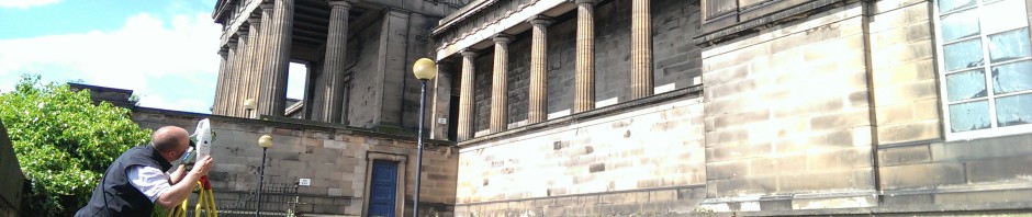
4Site Surveys can utilise traditional LiDAR surveying techniques to produce highly accurate building floor plans, elevations or cross sections.

Similarly we can produce point cloud scan data using Leica RTC 360 laser scanners and Cyclone Register 360+ software to produce 2D floor plans and elevations or 3D Revit models.


- Floor Plans
- Roof Plans
- Reflected Ceiling Plans
- Elevations
- Sections
- Sectional Elevations
- Precise Level Monitoring
- Wall Verticality
Surveys can be issued in Autocad format or hard copy.

4Site Surveys can establish long term monitoring programmes to check for ongoing structural settlement or movement of buildings.