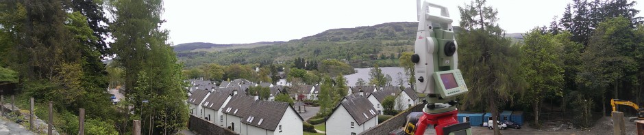
4Site Surveys will carry out any size of topographical survey from small single house plots or gap sites to large multi-hectare sites. We utilise a combination of Leica TS16 & TCR1200 total stations and Leica GS16 RTK-GPS Smart Rover to provide a highly accurate finished survey at a competitive price. LSS software is used to download and post process the survey data. The survey drawing can then be output and issued in any format that the client may require.
Our Surveyors specialise in, but are not restricted to the following disciplines:-
- Topographical Surveys
- Engineering Surveys
- GPS Surveying
- Boundary Surveys & Deed Plan Preparation
- Borehole Positioning Surveys
- Utility Services
- Golf Course Measurement
- Setting Out


